NEWS
Arctic Air Mass Brings Chillier Temperatures and Wintry Showers Across Regions
Arctic Air Mass Bringing Wintry Chill
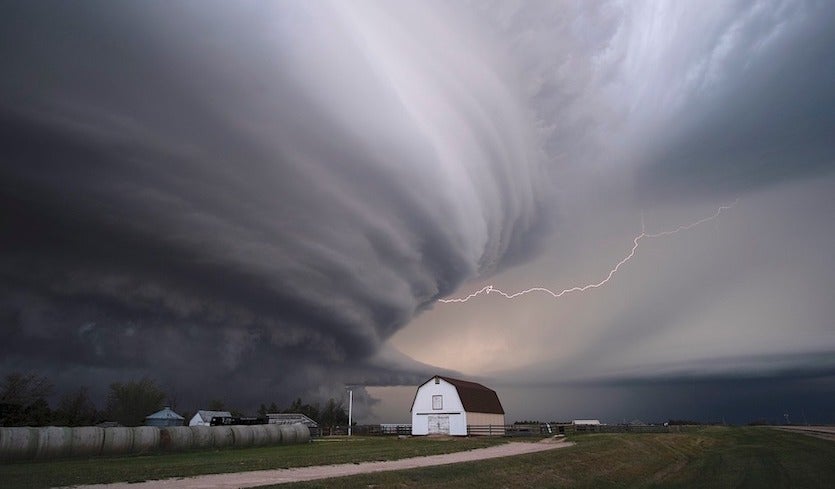
Prepare for a wintry blast reminiscent of February as an Arctic air mass descends upon the region today, ushering in a notable drop in temperatures. While the air has been somewhat moderated by its journey over the Atlantic Ocean, it remains chilly, signaling the return of night frosts and the possibility of snowfall, particularly over northern hills. Additionally, a series of fronts are poised to bring more wet weather, potentially preceded by snow in northern and eastern areas, as they sweep in from the Southwest by Sunday.

Navigating the Arctic Air Mass: A Forecast Overview
The day begins with mild but blustery conditions across the East and Southeast, accompanied by scattered showers and temperatures hovering around 10 to 11°C. However, a band of heavy rain, stretching from Northeast England to the Southwest, is set to move in, preceded by strong gusts of wind and possibly thunderstorms. Localized flooding may occur due to saturated ground conditions.
Following this rain band, clearing skies have already reached the Northwest, gradually making their way into Wales, accompanied by a noticeable temperature drop. However, areas in East Anglia and the Southeast might not experience this cooling effect until after dark.
Meanwhile, Scotland and Northern Ireland will see a mix of sunny spells and showers throughout the day, with heavier showers in the west potentially bringing hail and thunder. Snow is likely on Scottish hills above 200 meters, accompanied by a brisk Southwest wind, keeping temperatures chilly at 4 to 7°C across the region.


Bracing for Arctic Air Mass: Nighttime Showers and Chilling Gusts
After any lingering wet weather in the East dissipates, the night will bring a mix of clear intervals and showers, particularly in the North and West. Some of these showers may be heavy and accompanied by hail, thunder, and snow, predominantly over Scottish and northern hills. Sheltered eastern areas may see fewer showers, but those that do occur could be intense.
A raw West or Southwest wind will persist, especially in the North and West, with strong gusts likely. Overnight temperatures are expected to dip, leading to frost and icy patches in sheltered spots, with lows ranging from 2 to -2°C, especially over parts of East Scotland.
Anticipating the Arctic Air Mass: Friday’s Forecast
Friday will bring a mix of sunny spells and showers across the region, particularly in the North and West, where some showers could be heavy. While occasional troughs may enhance shower activity and push them further East, dry conditions may prevail in some areas. Snowfall is anticipated on northern hills and possibly at lower levels across Northern Scotland. Despite a less blustery Southwest wind, temperatures will remain cool, ranging from 3 to 8°C across the region.
Arctic Air Mass Brings Wintry Showers and Frost Formation
Showers, some wintry, will become more isolated, primarily affecting the North and West as winds subside. These showers are likely to persist as snow over hills and locally at lower elevations in the North. Clear skies, especially in sheltered eastern regions, will lead to frost formation and icy patches where showers have occurred. Overnight lows are expected to range from -2 to +3°C across the region.